There are many factors involved in wildlife conservation. Funding, expertise, human resources and goodwill all play very large roles of course. But technology is helping to pioneer wildlife conservation efforts in increasingly efficient and cost-effective ways.
An example that has garnered significant attention in recent weeks is the use of using high‐resolution satellite imagery and deep learning to detect and count African elephants in heterogeneous landscapes.
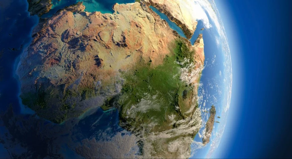
In simple terms, scientists are using images to count elephants from space. The pictures come from an Earth-observation satellite orbiting 600km (372 miles) above the planet's surface. The breakthrough could allow up to 5,000 sq km of elephant habitat to be surveyed on a single cloud-free day.
Moreover, the complex counting is undertaken via machine learning - a computer algorithm trained to identify elephants in a variety of backdrops. The approach promises to vastly improve the monitoring of threatened elephant populations in habitats that span international borders, where it can be tricky to gain permission for aircraft surveys.
This technology could therefore be a huge boost to anti-poaching efforts. The population of African elephants has plummeted over the last century due to poaching, retaliatory killing from crop raiding and habitat fragmentation.
Accurate monitoring is a vital component to ensuring conservation is achieved. Inaccurate counts can result in misunderstanding of population trends, leading to misallocation of scarce conservation resources.
Unfortunately many existing techniques are prone to miscounting. The most common survey technique for elephant populations in savannah environments is aerial counts from manned aircraft. Aerial surveys are conducted either as total counts (flying closely spaced transects) or sample counts (covering 5‐20% of an area and extrapolating to a larger area). Several studies have shown that observers on aerial surveys often miscount due to fatigue and visibility issues, resulting in over‐estimates.
Aerial surveys can be costly, logistically challenging in terms of finding suitable runways and refuelling stops and time consuming in terms of getting appropriate permissions. This is particularly relevant in cross‐border areas where multiple national permissions are required.
Remotely sensing elephants using satellite imagery and automating detection via deep learning may provide a novel avenue for surveying while mitigating several of the challenges outlined above.
In the coming year, the Nick Maughan Foundation is aiming to commission wide ranging research into the application of technology to animal conservation. Counting elephants with satellites is just once example of exciting innovation which could help accelerate progress in solving one of conservation’s most pressing problems. There are many other technologies waiting to be invented, developed and harnessed for the good of the environment – we’re hoping to help find out what they are.

